
Higger Tor - Peak District Walk
Tuesday 18th June 2024
After a few days of heavy rain and with plans already in place for the rest of the week I was determined to make the most of what seems to be this summer, a very rare dry day. I really wasn't sure where I wanted to walk, but having sat looking at Higger Tor on our last walk I decided to head up there for this walk.
Start: Surprise View car park (SK 2521 8011)
Route: Surprise View car park - Mother Cap - Over Owler Tor - Hathersage Moor - Higger Tor - Fiddler's Elbow - Upper Burbage Bridge - Burbage Edge - Longshaw Estate - Surprise View car park
Distance: 5.59 miles Ascent: 283 metres Time Taken: 3 hrs 10 mins
Terrain: Clear paths
Weather: Dry and warm, but cloudy
Pub Visited: None Ale Drunk: None
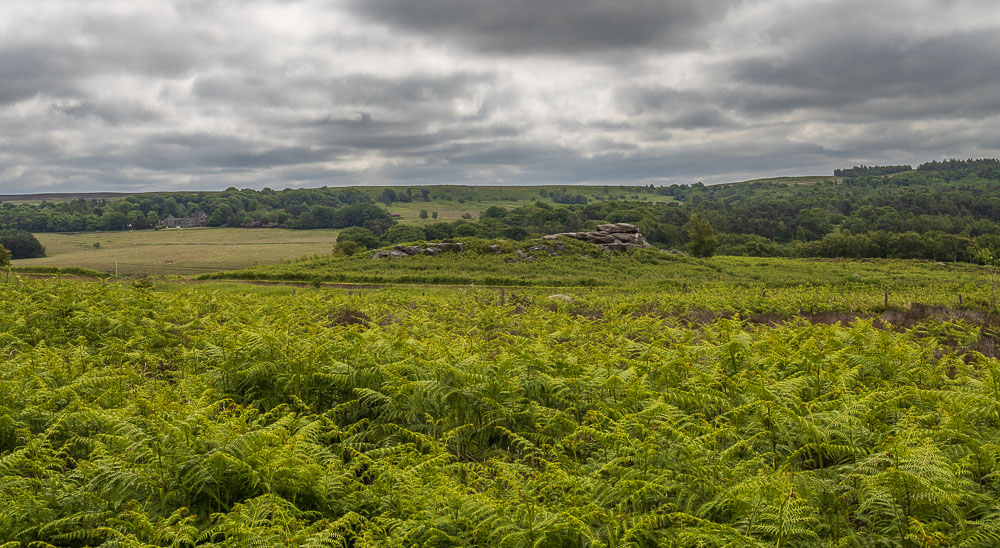
Just after I leave the car park I remember to turn around and take a shot of the rocks at Owler Tor, which I will walk passed at the end of the walk.

The path starts by heading through the trees in what was once Grey Millstone Quarry.
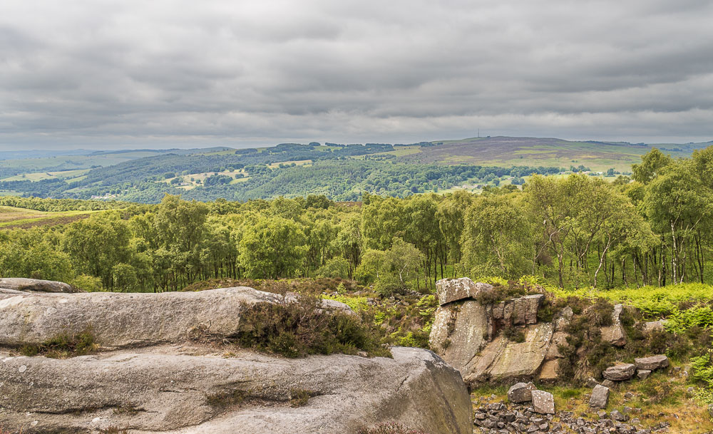
Having left the trees behind and reached the edge of the old quarry I can look across to Eyam Moor.
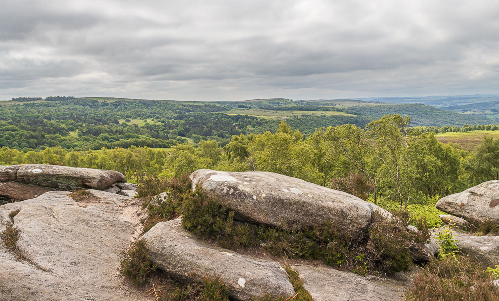
Looking down the valley I can see White Edge, Froggatt Edge and Curbar Edge, where I was walking last week.
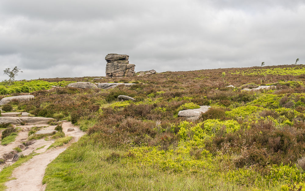
The distinctive rock Mother Cap is soon in sight.
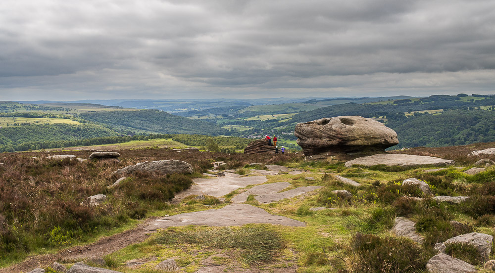
I pass a group who are scrambling on the rocks, one of several groups I would see today.
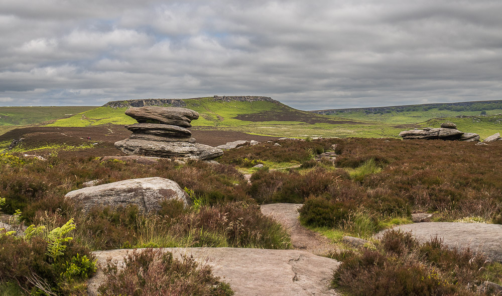
Walking across the top of Over Owler Tor I get my first view of Higger Tor.
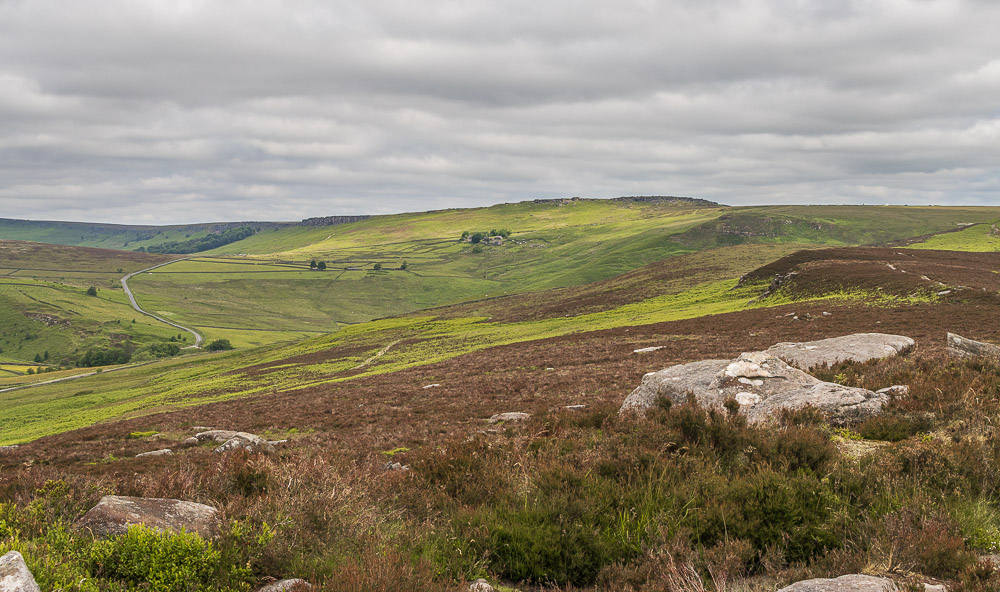
Stanage Edge and Callow Bank also come into view.
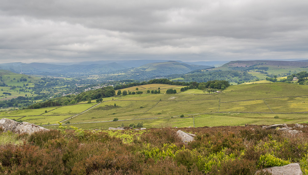
Looking down the Hope Valley I wonder if I'm going to stay dry all day as it looks rather murky in the distance.
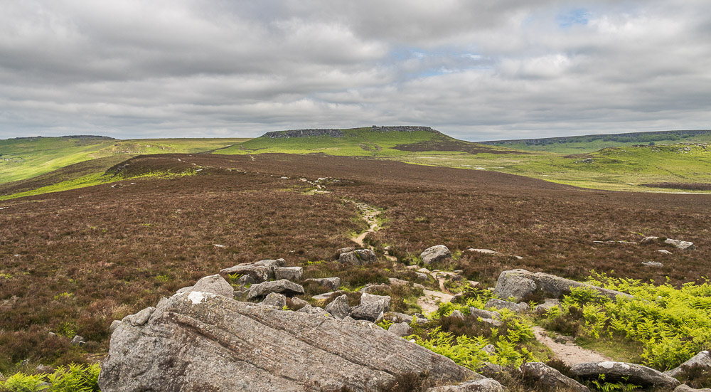
The path I will be taking to Higger Tor looks nice and dry, which is a surprise after the torrential downpours we have had over the last few days.
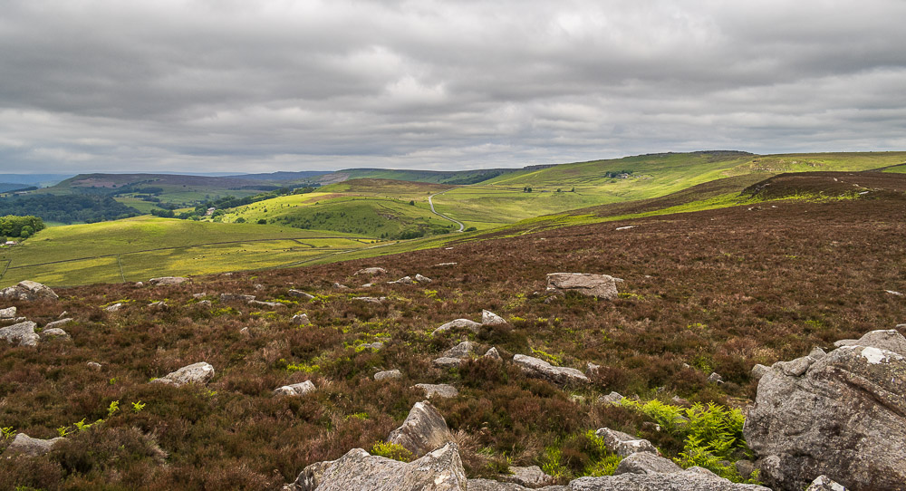
Looking across towards Bamford Edge and Bamford Moor and there is a slight hint that maybe the distant views might be improving.
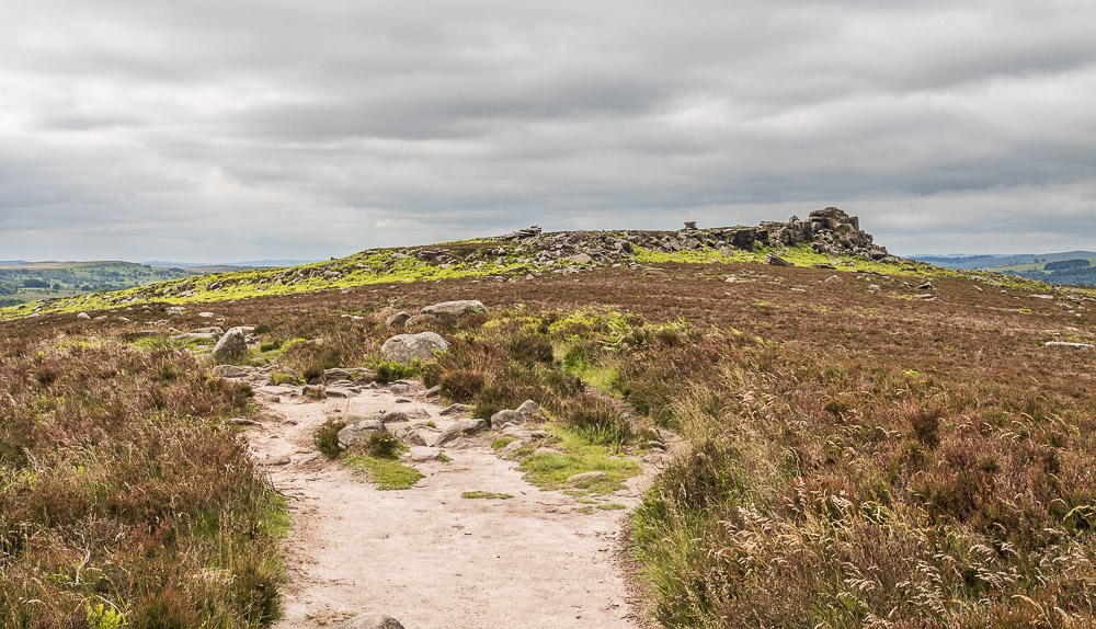
Over Owler Tor from the path along the moor.
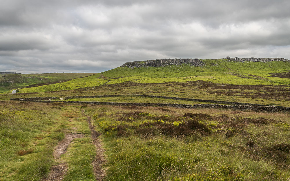
Approaching the old sheepfold at Winyards Nik and I can clearly see the path I will take around the back of Higger Tor.
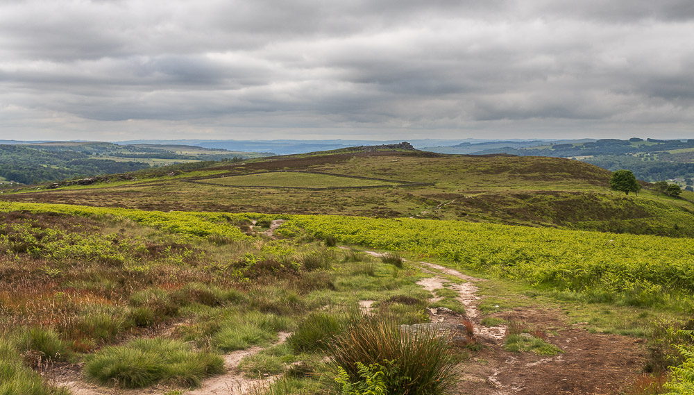
Looking back across Winyards Nik to Over Owler Tor as I start the short climb onto Higger Tor. Going around the back this way avoids the rocky scramble that you need to do at the other end of Higger Tor.
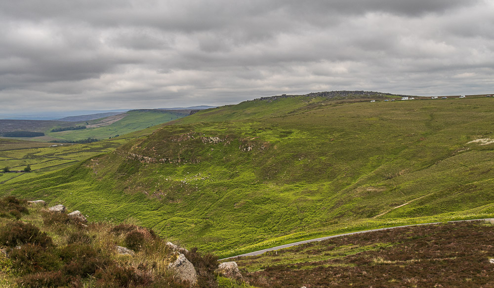
As I head around the back I get a good view of Callow Bank and across to Cowper Stone at this end of Stanage Edge.
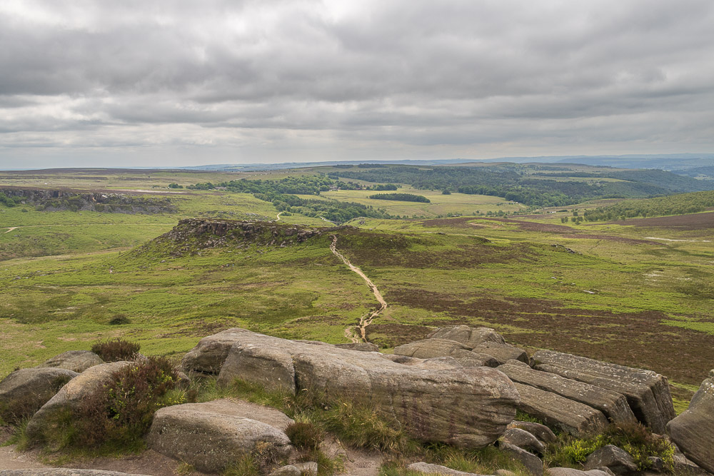
Heading across the top of Higger Tor there were a lot of school parties enjoying some scrambling so I avoided taking any photos, but I did manage one looking across the Kit Kat Stone to Carl Wark.
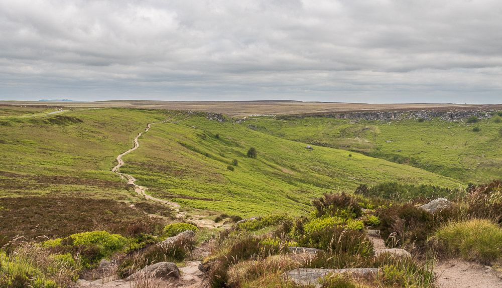
After I left the Kit Kat Stone another group of school children were ahead of me and so there was no chance of any more shots until I reached the footpath to Fiddler's Elbow.
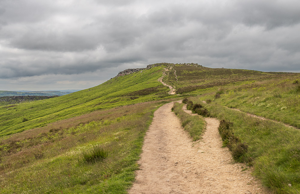
Looking back to Higger Tor from the footpath to Fiddler's Elbow.
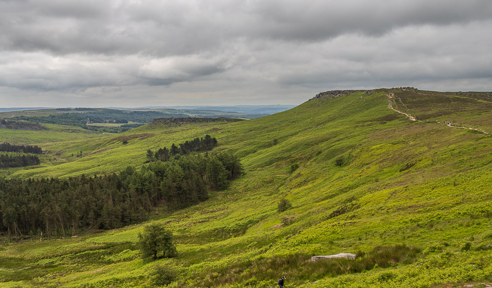
Higger Tor and Carl Wark from Fiddler's Elbow. I had just passed the group on the footpath and I'm surprised, given their choice of footwear there hadn't been a turned ankle or two.
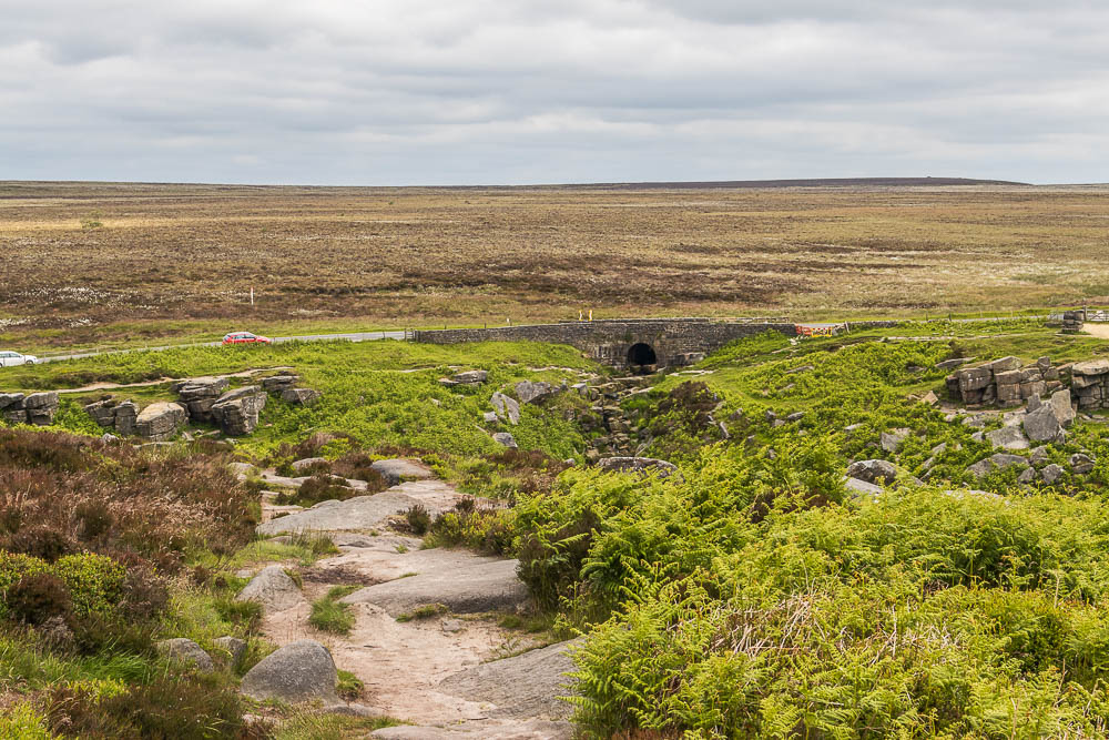
I had to wait a short while to take this shot as a group of young lads had just walked along the road with luminous yellow covers on the back of their rucksacks.
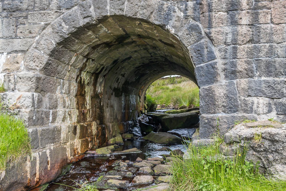
I usually just cross this section using the road, assuming I haven't parked here, which I often do if I'm doing Higger Tor. For a change I thought I'd use the rocks below the bridge to cross over to Burbage Edge and found out that there were two sections to cross.
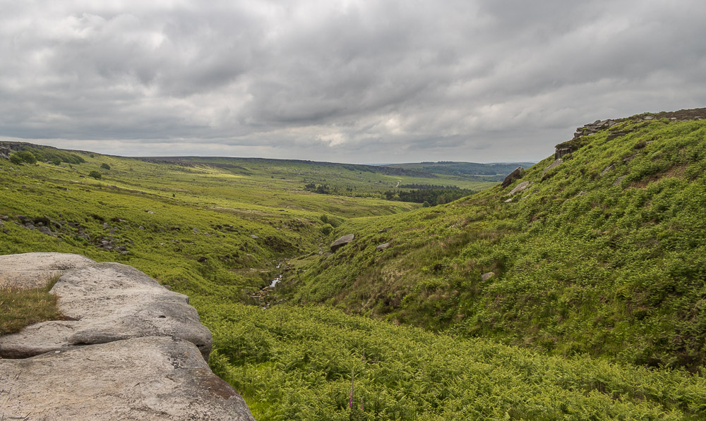
Looking along the valley after I have crossed the first of two streams that feed into Burbage Brook.
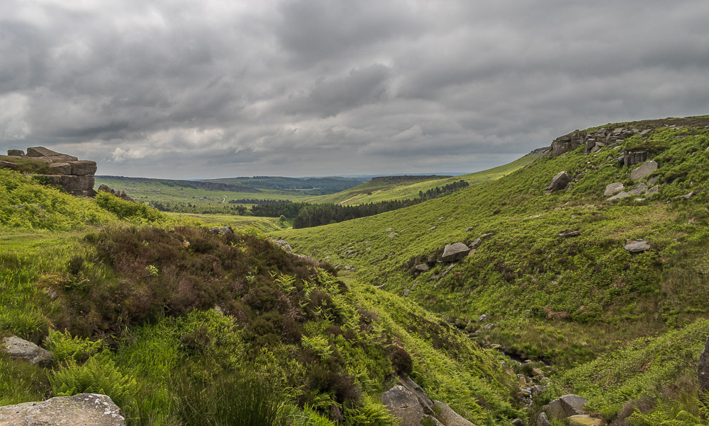
Looking down the valley just before I cross the second brook that feeds into the valley at Upper Burbage Bridge.
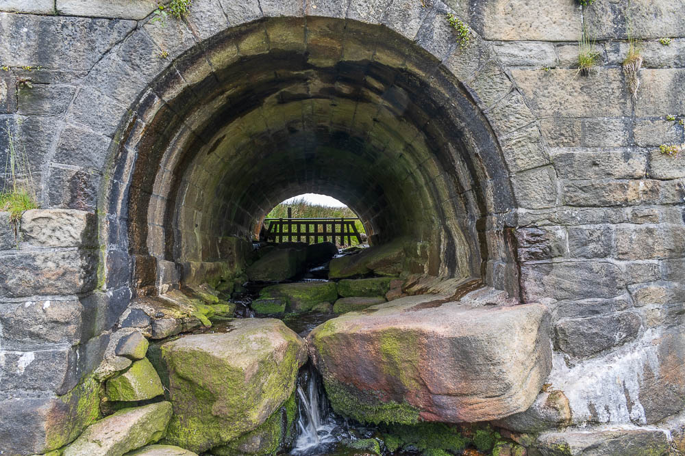
Having crossed the first stream I was very surprised to find that I needed to cross a second stream. I'd never noticed that there were two sections to cross in all the times I have looked at this bridge. One reason I like to try out new routes on a walk, no matter how small, is that you never know what you might discover.
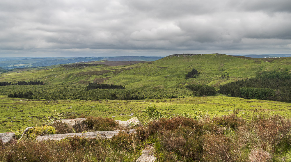
Just as I reached Burbage Edge the group of lads with the luminous rucksacks set off ahead of me. Thankfully one of their party was quite slow and I was able to get ahead of them.
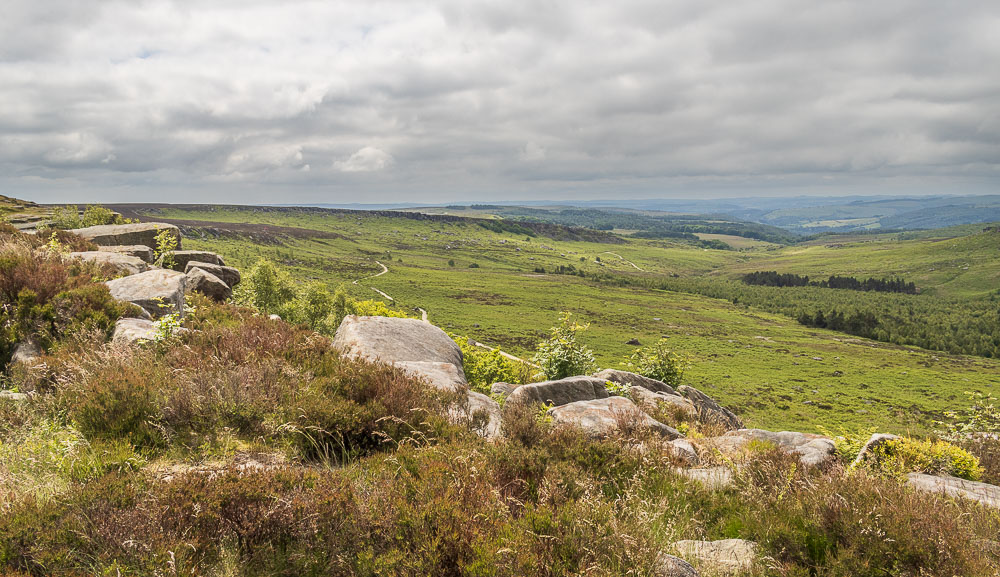
Looking down the valley and further along Burbage Edge I could see another set of luminous rucksack covers winding their way along the edge. As the lads later confirmed they were all doing their Duke of Edinburgh expedition and today it was for real. They had started the day on Stanage Edge and were heading to Curbar Gap so they all still had a few miles ahead of them.
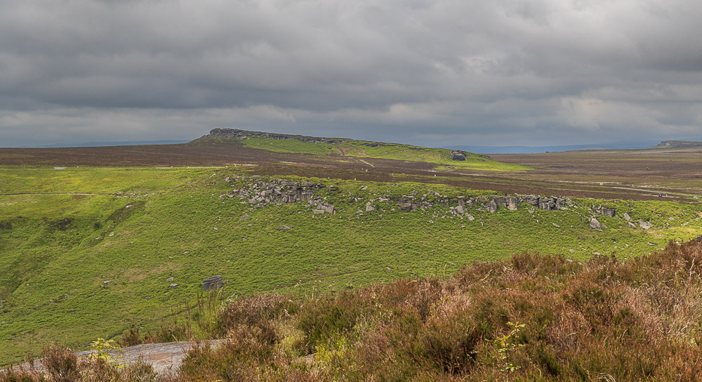
Looking across to Cowper Stone from Burbage Edge and I'm beginning to wonder if the clouds will ever break up today and give us some sunshine.
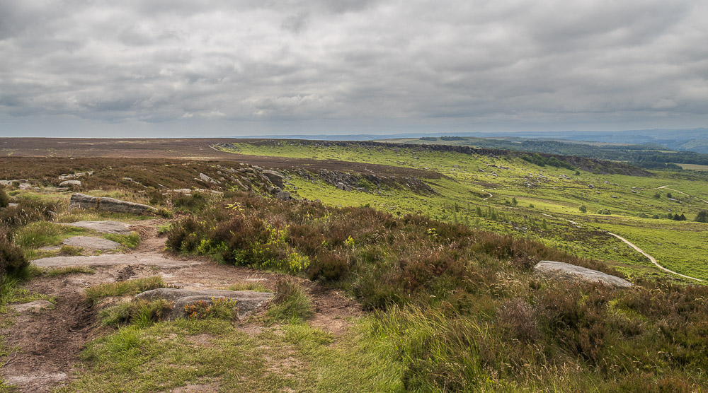
Looking along Burbage Edge I need to decide if I'm going to walk the length of the edge or drop of it into the valley where the path from Houndkirk Moor cuts across the edge path.
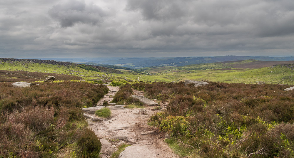
Looking down the valley and the views in the distance remain quite dull.
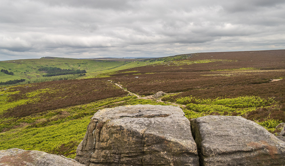
Having decided to walk the full length of Burbage Edge I let the lads go ahead of me so I can get this shot looking back to Upper Burbage Bridge without them in it.
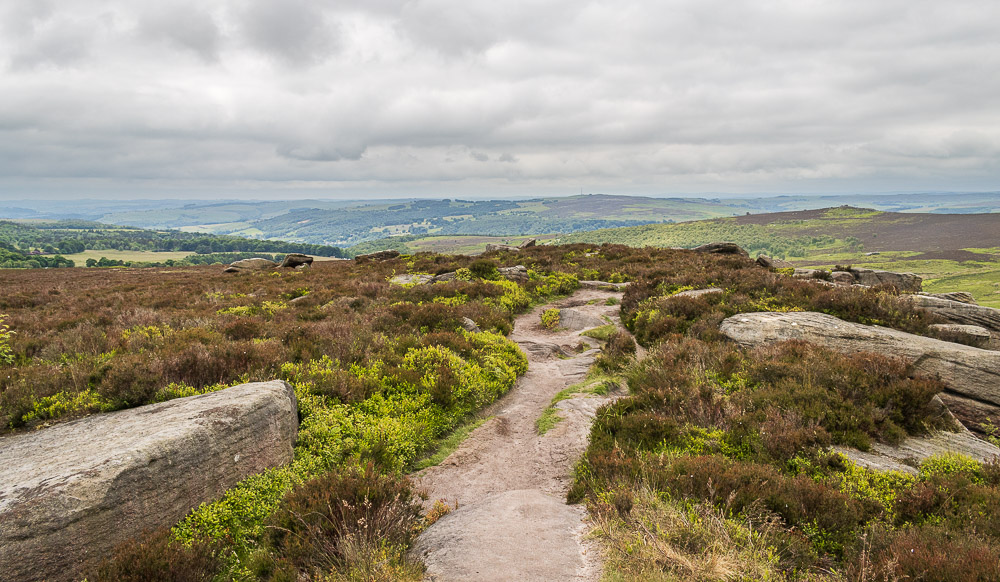
Heading along this section of Burbage Edge I start looking out for a suitable lunchspot, possibly looking across to Higger Tor.
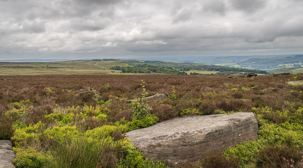
Looking across to Totley Moss from Burbage Edge.
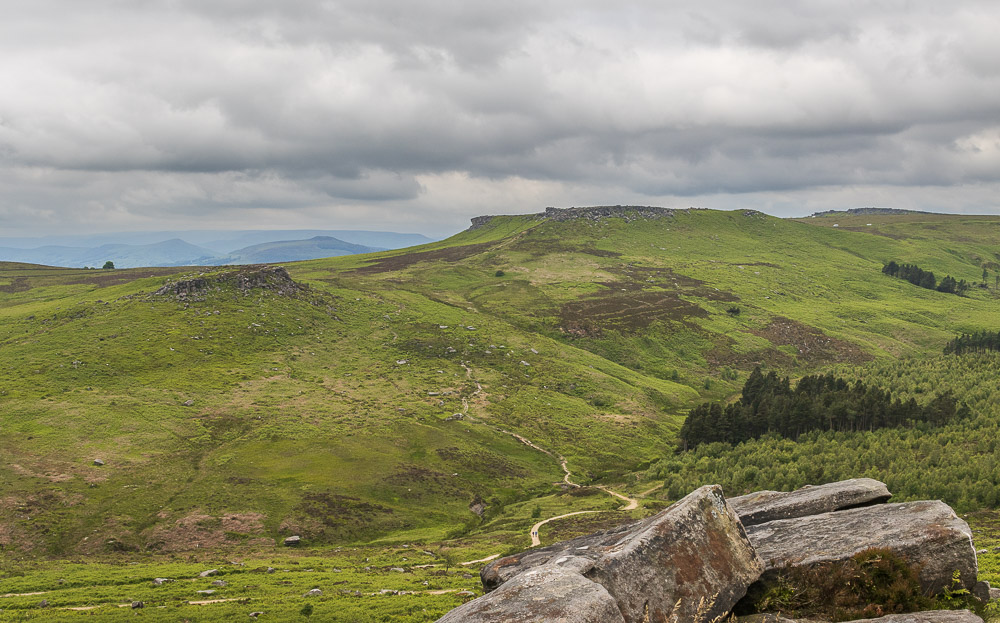
Carl Wark and Higger Tor from Burbage Edge.
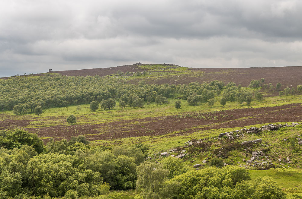
Looking across to Over Owler Tor and with no hint of any sunshine I decide to look for somewhere a little more sheltered than along the edge before I stop for lunch.
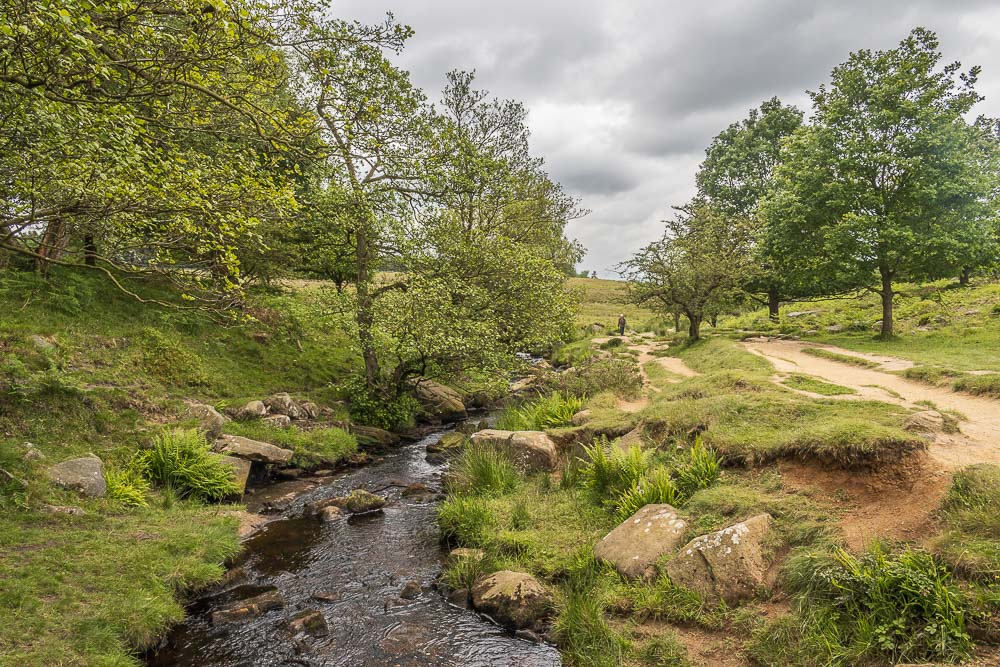
Having entered Longshaw Estate one of my favourite lunchtime spots next to Burbage Brook is unoccupied, so that will do nicely.
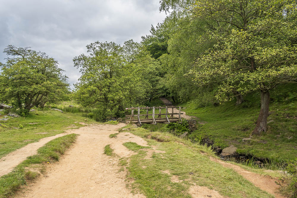
Sat in Longshaw eating my lunch I was surprised that the only person who nearly passed me was the cyclist who was very happy he stopped to chat. Whilst we were talking he found out the route he was on was taking him downhill to Grindleford and not uphill to the moors, where he wanted to be. Knowing the route as well as I do the only map I had on me was on my phone but I was able to show him where to go and point him back in the right direction.
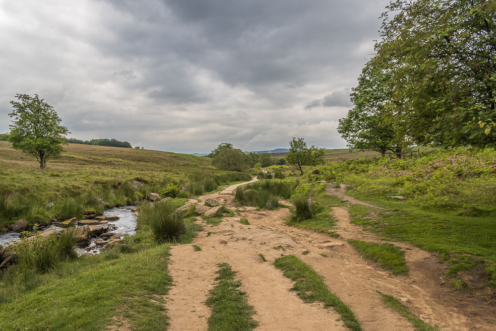
Having eaten I knew it wouldn't be long before I was back at the car but I had hoped to take a few more shots of the brook before I got back to the car. It appeared that the reason I'd seen so few people as I sat eating my lunch was because everyone else was doing the same at all the other nice spots by the brook, so no photos for me.
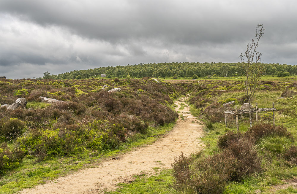
Having reached the bridge at the top of Padley Gorge I knew I'd also reached the gully I needed to follow to get back to the car.
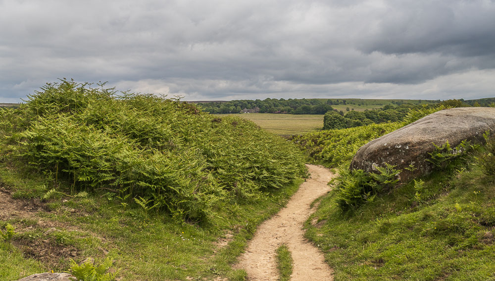
When I reached the other end of the gully I paused to take this shot back to Longshaw Lodge. Last week when we had been sat on the benches in front of the lodge I'd looked across and picked the gully out and noticed how much it actually climbs up. At least now I know why the end of this walk has always seemed harder work than I anticipated, not only is it like a heat trap in the gully it's also uphill. A short stroll from here will see me back at my car, but no need for an ice-cream today, which was just as well as even the ice-cream seller had decided it was too cold for him to bother setting up.
All pictures copyright © Peak Walker 2006-2024